Monday, August 27, 2007

Cap is dominating, SFC based storms unlikely before dark

A strong inversion exists on the 21Z MPX sounding with -274 J/kg of Mixed Layer CINH (convective inhibition) present. Surface based storms will likely not fire until near or after dark if at all. I am glad I didn't make the trip as this was one of my biggest concerns.


The latest MD issued by the SPC states the same thing: ....POTENTIAL FOR SURFACE BASED STORMS FARTHER SOUTH APPEARS LIMITED...BUT THESE AREAS WILL CONTINUE TO BE MONITORED.


Sunday, August 26, 2007

Tornadoes in ND, Severe Weather likely again Tomorrow

Multiple tornado reports are coming in from North Dakota this evening. A line of isolated supercells erupted this afternoon ahead of a cold front in central ND and spread east into a primed environment for tornadoes. Here's a picture of the report locations for today.


Severe weather is likely again tomorrow, Monday August 27th, across ND,SD,MN, IA, and NE as the cold front continues its southward march. A strong cap may limit coverage but the forcing along the cold front coupled with the timing of the upper air disturbance may be enough to break through the inversion before nightfall. A surface low is forecast to move from central SD northeastward through Minnesota possibly backing surface winds and enhancing hodographs. The LLJ is forecast to be quite strong, 40-50kts, just after 00z making for impressive low-level shear values. Unfortunately I can't chase tomorrow due to school, the tough semester, but I'll keep an eye on it and I wouldn't be surprised to see a tornado or two reported tomorrow.

Wednesday, August 22, 2007

Gorilla Hail in South Dakota

This picture was taken in Dante South Dakota on the 21st of August after a classic supercell ripped through the region. Official reports of 4.25" diameter hail were recorded with "unofficial" hailstones reportedly in the 6-8" diameter range.

Tuesday, August 21, 2007

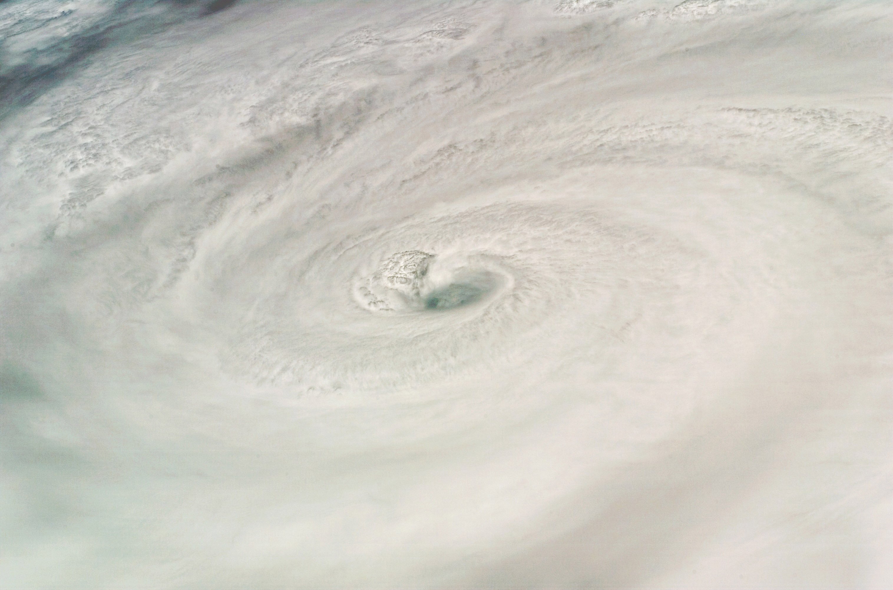
New pic from Hurricane Dean


Picture of Hurricane Dean taken by shuttle Endeavor near peak intensity in the Caribbean Sea.
http://upload.wikimedia.org/wikipedia/commons/9/90/HurricaneDean.jpg

Severe storms along cold front rest of this week.


A cold front dragging through the central US will present a focus for severe weather opportunities the rest of this week as it drags slowly south. Fairly zonal, mid level flow of 30 - 50 kts atop the frontal location coupled a decent LLJ the next couple of days could set the stage for numerous hail and wind report along with some isolated tornadoes wherever storms can stay discrete and not get undercut by the front.
Threat locations:
Tuesday 21st - Nebraska, southeast South Dakota, northern Kansas, Iowa
Wednesday 22nd - much of Iowa and Nebraska, eastern Colorado, northern Kansas
Thursday 23rd - Mainly Kansas and eastern Colorado